What are the navigation systems of ROV robots?
Leave a message
As a supplier of ROV (Remotely Operated Vehicle) robots, I've witnessed firsthand the incredible advancements in underwater exploration and inspection technology. One of the most critical aspects of ROVs is their navigation systems, which enable these robots to operate effectively in challenging underwater environments. In this blog post, I'll delve into the various navigation systems used in ROV robots and how they contribute to the success of underwater missions.
1. Inertial Navigation Systems (INS)
Inertial Navigation Systems are a fundamental component of ROV navigation. INS uses accelerometers and gyroscopes to measure the robot's acceleration and angular rate. By integrating these measurements over time, the system can calculate the ROV's position, velocity, and orientation.
The advantage of INS is its independence from external signals. It can provide continuous navigation information even in areas where other navigation methods may not work, such as deep underwater or in areas with high magnetic interference. However, INS has a drawback: it suffers from drift over time. The errors in acceleration and angular rate measurements accumulate, leading to an increasing deviation from the true position. To mitigate this, INS is often combined with other navigation systems.
2. Acoustic Navigation Systems
Acoustic navigation is widely used in ROVs due to the limited propagation of electromagnetic waves in water. There are two main types of acoustic navigation systems: Long Baseline (LBL), Short Baseline (SBL), and Ultra-Short Baseline (USBL).
Long Baseline (LBL)
LBL systems consist of a set of fixed acoustic transponders placed on the seabed. The ROV is equipped with a transceiver that communicates with these transponders. By measuring the time of flight of acoustic signals between the ROV and the transponders, the distance between the ROV and each transponder can be calculated. Using trilateration, the ROV's position can be determined with high accuracy. LBL systems are suitable for large-scale underwater operations, such as deep-sea exploration and pipeline inspection.
Short Baseline (SBL)
SBL systems have a shorter baseline compared to LBL. The transducers are usually mounted on a support structure near the ROV deployment point, such as a ship. The SBL system measures the relative position of the ROV with respect to the ship. It is less accurate than LBL but is more flexible and easier to deploy, making it suitable for smaller-scale operations and near-surface inspections.

Ultra-Short Baseline (USBL)
USBL systems are similar to SBL but have an even shorter baseline. They are compact and can be easily integrated into the ROV. USBL measures the direction and distance of the ROV from a single transceiver on the surface. It is widely used for real - time tracking of ROVs during underwater operations.
3. Visual Navigation Systems
Visual navigation systems use cameras to provide information about the ROV's surroundings. These cameras can capture images and videos of the underwater environment, which can be used for both navigation and inspection purposes.
Stereo Vision
Stereo vision systems use two or more cameras to create a 3D representation of the underwater scene. By analyzing the disparity between the images captured by different cameras, the distance to objects in the scene can be calculated. This information can be used to avoid obstacles and navigate the ROV in complex environments.
Optical Flow
Optical flow is another visual navigation technique. It analyzes the motion of objects in the camera's field of view to estimate the ROV's movement. By tracking the movement of features in successive frames, the ROV can determine its speed and direction relative to the surrounding environment.
Visual navigation systems are particularly useful for close - range inspection and navigation in areas with good visibility. For example, when inspecting underwater structures such as bridges or pipelines, visual navigation can provide detailed information about the condition of the structure.
4. Magnetic Navigation Systems
Magnetic navigation systems use magnetometers to measure the Earth's magnetic field. By comparing the measured magnetic field with a known magnetic model, the ROV can determine its heading. Magnetic navigation is relatively simple and can provide a reliable heading reference in many underwater environments.
However, magnetic navigation has limitations. Local magnetic anomalies, such as those caused by nearby metal structures or geological features, can affect the accuracy of the magnetometer readings. Therefore, magnetic navigation is often used in combination with other navigation systems to improve the overall navigation accuracy.
5. GPS - based Surface Navigation
When the ROV is near the surface, GPS (Global Positioning System) can be used to provide accurate position information. The surface support vessel or the ROV itself can be equipped with a GPS receiver. The GPS data can be used to determine the general position of the ROV on the surface and can also be used as a reference for other underwater navigation systems.
Integration of Navigation Systems
In practice, most ROVs use an integrated navigation system that combines multiple navigation methods. For example, an ROV may use INS for continuous navigation, acoustic navigation for long - range positioning, and visual navigation for close - range inspection and obstacle avoidance. By integrating these systems, the ROV can achieve high - accuracy navigation in a wide range of underwater environments.
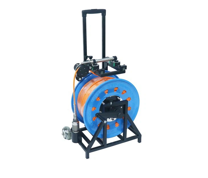
As a supplier of ROV robots, we offer a variety of ROV models equipped with advanced navigation systems. Our ROVs are suitable for different applications, such as water well inspection, sewer drain pipe inspection, and underwater structure inspection.
If you are interested in water well inspection, our 360 Degree Water Well Inspection Camera provides a comprehensive view of the well interior. For sewer drain pipe inspection, the Best Underwater Sewer Drain Pipe Inspection Video Camera 100m offers high - quality video and reliable navigation for long - distance inspections. And our Hot Sale Water Well Inspection Camera is a cost - effective solution for water well monitoring.
If you have any requirements for ROV robots or need more information about our products and navigation systems, please feel free to contact us for procurement and further discussions. We are committed to providing you with the best underwater inspection solutions.
References
- Fossen, T. I. (2011). Handbook of Marine Craft Hydrodynamics and Motion Control. John Wiley & Sons.
- Whitcomb, L. L., Yoerger, D. R., & Singh, H. (2000). Autonomous Underwater Vehicles: Technology, Design, and Applications. Society of Naval Architects and Marine Engineers.
- Leonard, J. J., & Durrant - Whyte, H. F. (1991). Simultaneous map building and localization for an autonomous mobile robot. In Proceedings of the IEEE International Conference on Robotics and Automation.


